

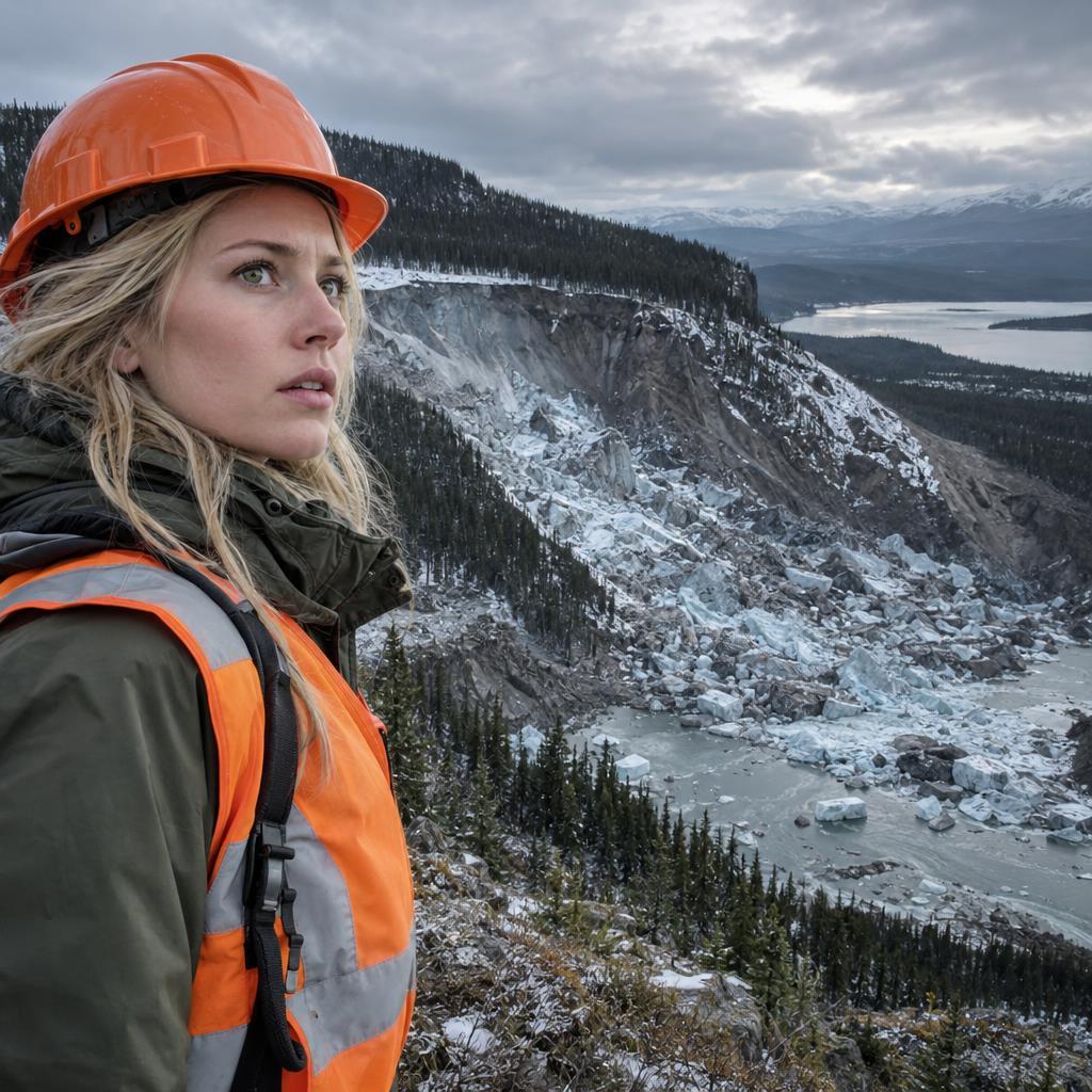
Climate Change Is Driving a Newly Identified Type of Landslide in Canada
Scientists have identified a previously unknown and alarming type of landslide in Canada’s Northwest Territories, driven by climate change and decades-old wildfires. Researchers studying two massive collapses—one in the Johnson River Valley in 2017 and another in the Redstone River Valley in 2018—named the phenomenon permafrost detachment slides. Their findings were published in the journal Geophysical Research Letters.
Unlike typical permafrost melt, which produces a muddy slurry flowing downslope, these slides sent enormous, intact blocks of frozen ground careening downhill. Some blocks reached 33 feet (10 meters) tall, roughly the height of a two-story house.
- The 2017 Johnson River slide moved more than 636 million cubic feet of soil and rock.
- The 2018 Redstone River slide displaced nearly 159 million cubic feet of debris and left a scar 1,150 feet (350 meters) wide.
The process is driven by bottom-up thaw. Warm surface temperatures and flash-heating from wildfires crack the ground, allowing water to seep to the base of the permafrost. It then melts the frozen layer from below until the entire mass breaks free.
Lead researcher Joseph Young of the University of Alberta warned that many areas in Canada and Alaska face similar risks. Permafrost in these regions can extend 66 to 130 feet deep, and the danger may grow as wildfires intensify at northern latitudes.
Both slides also dammed rivers, quickly forming new lakes and sending sediment into waterways downstream.
Source: Gizmodo – October 27, 2026